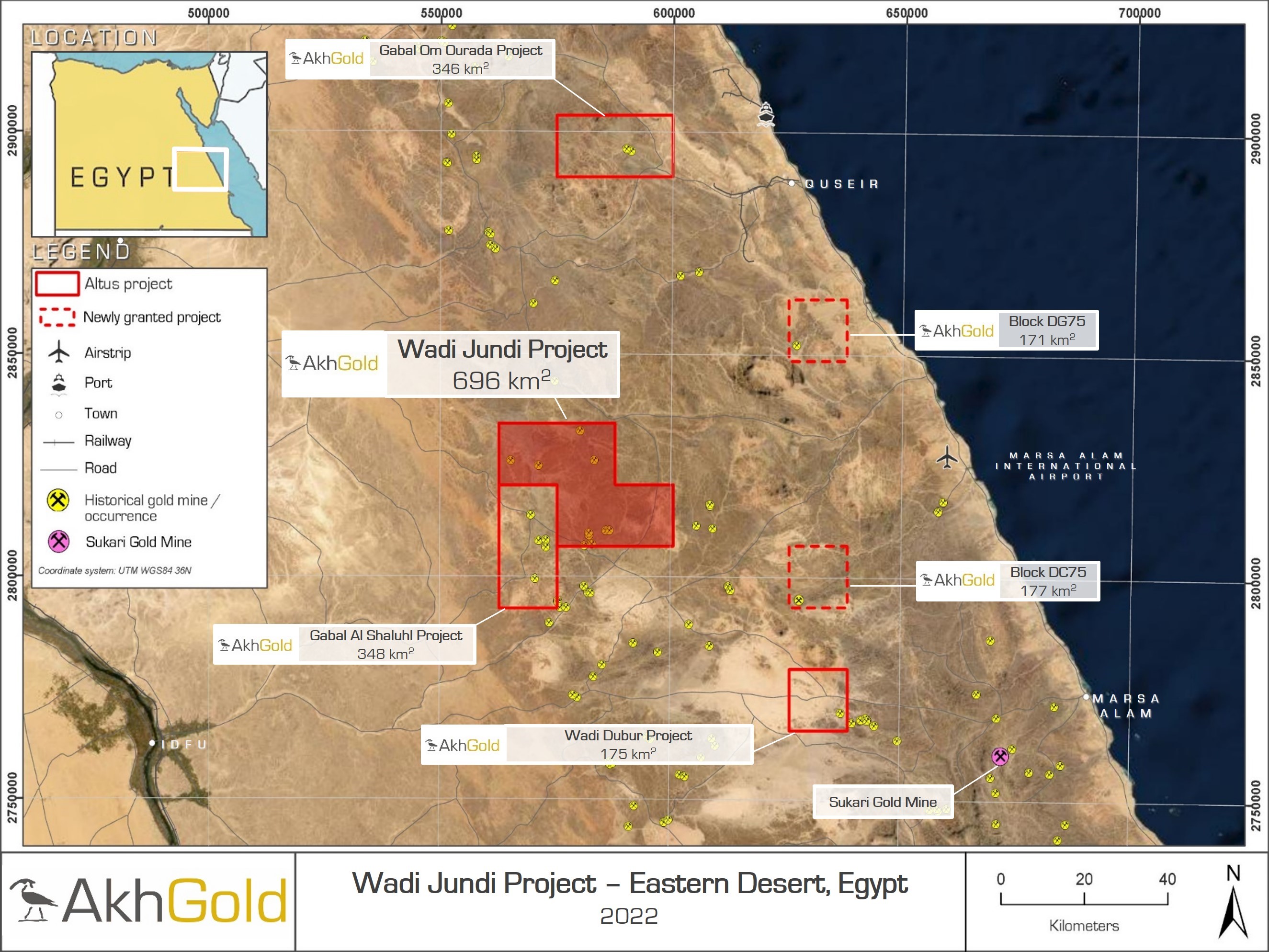
| Project: | Gabal Om Ourada (346 km2) |
| Commodity: | Gold |
| Location: | Eastern Desert, Egypt |
| Deposit Style: | Orogenic gold |
| Key Attributes: | Historic gold occurrences, granites and ophiolites |
| Asset Stage: | Target definition and prospectivity mapping |
| Results: | Coming Soon |
| Next Phase of Work: | Reconnaissance mapping and sampling |

Overview
The Gabal Om Ourada Project consists of two licence blocks (granted as part of the 2020 International bid round), covering a total area of 346 km2 in the highly prospective Eastern Desert of Egypt. The project is situated approximately 30 km north-east of the historic El Sid gold mine, which contributed around 45% of Egypt’s gold production during the 20th century, and 160 km north-west of the Sukari gold mine (operated by LSE listed Centamin Plc) which produces approximately 400,000 oz of gold per annum. It is directly accessible by asphalt road from the coastal city of El Quseir, 30 km to the south-east. Altus holds a 100% interest in the project and is exploring primarily for gold, specifically targeting orogenic gold mineralisation hosted in an ophiolite belt proximal to a granite intrusion.
The Eastern Desert of Egypt forms part of the north-western limb of the Neoproterozoic Arabian-Nubian shield, a rapidly emerging world-class province for orogenic gold deposits, with reported discoveries of >45 Moz Au and Au equivalent in the last two decades. Historic mining in the Eastern Desert dates back to Pharaonic times. Large areas of the Eastern Desert remain relatively underexplored and provide highly prospective greenfields targets.
Exploration Programme
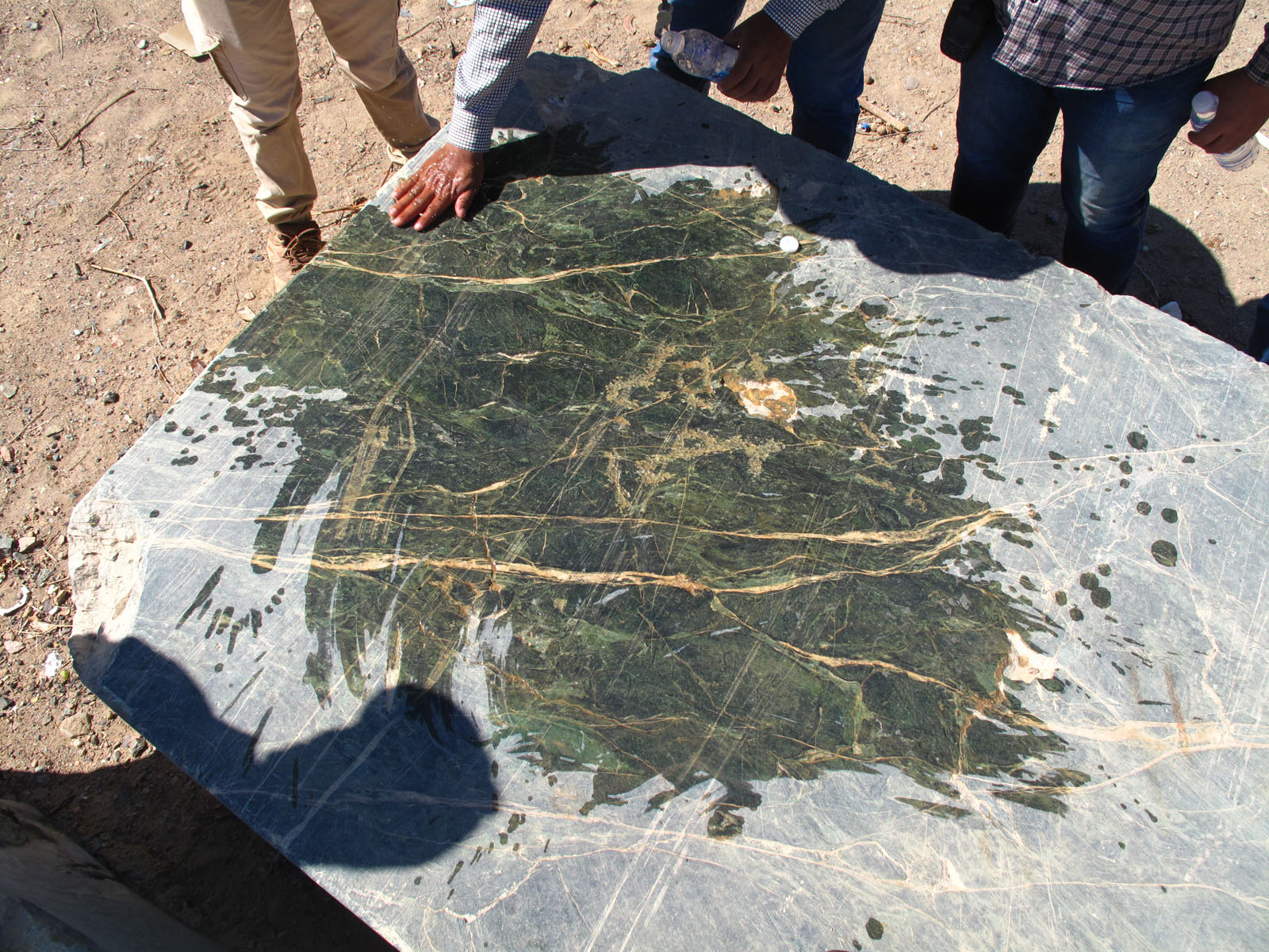
Altus selected Gabal Om Ourada based upon an extensive process of desk-based prospectivity mapping. This work comprised a review of available datasets, including historical mineral occurrences, geological maps and satellite-borne remote sensing data. The licence contains a north-west trending belt of serpentinised ophiolite and associated tectonic melange, schists, andesite and porhyryitic subvolcanic rocks, intruded by multiple syn- to late-tectonic granodiorite and late- to post-tectonic granite intrusions. Basement gneisses and mylonitic schists of the Meatiq Dome, a metamorphic core complex, outcrop in the south-west of the area and are separated from the younger rocks by a series of deep-seated north-west trending sinistral shear zones and north-east trending thrusts belonging to the 1100 km Najd Fault System. A first phase reconnaissance exploration programme is underway across areas of historical and hard rock gold workings on a NW-SE trend. Results to date include up to 6.78 g/t Au from spoil.
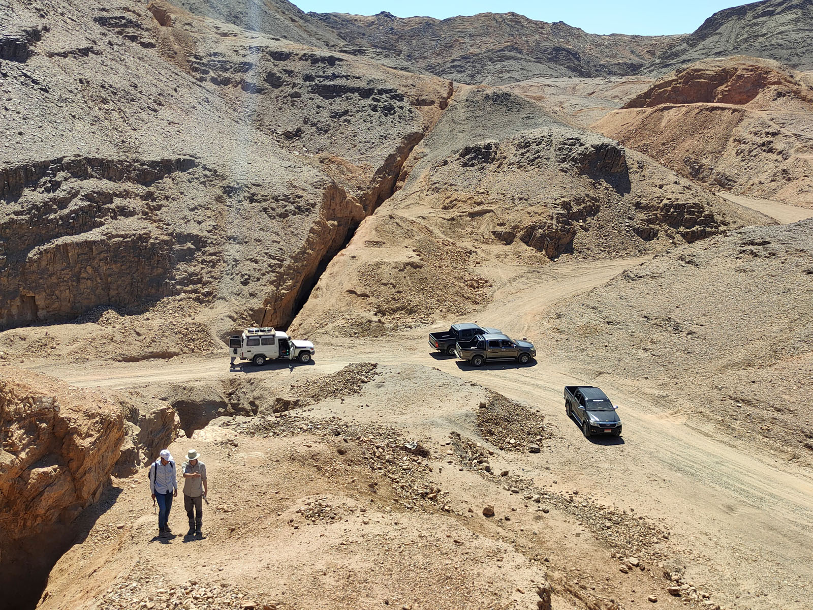
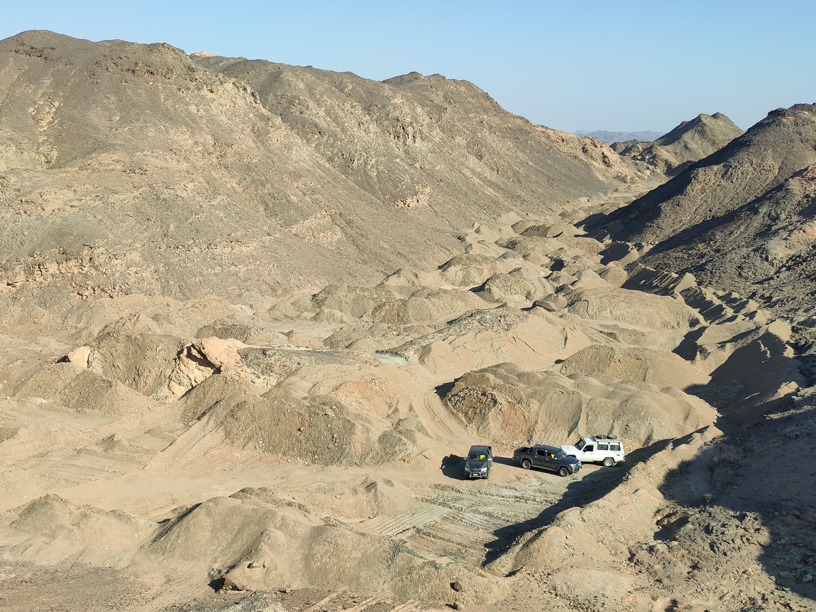

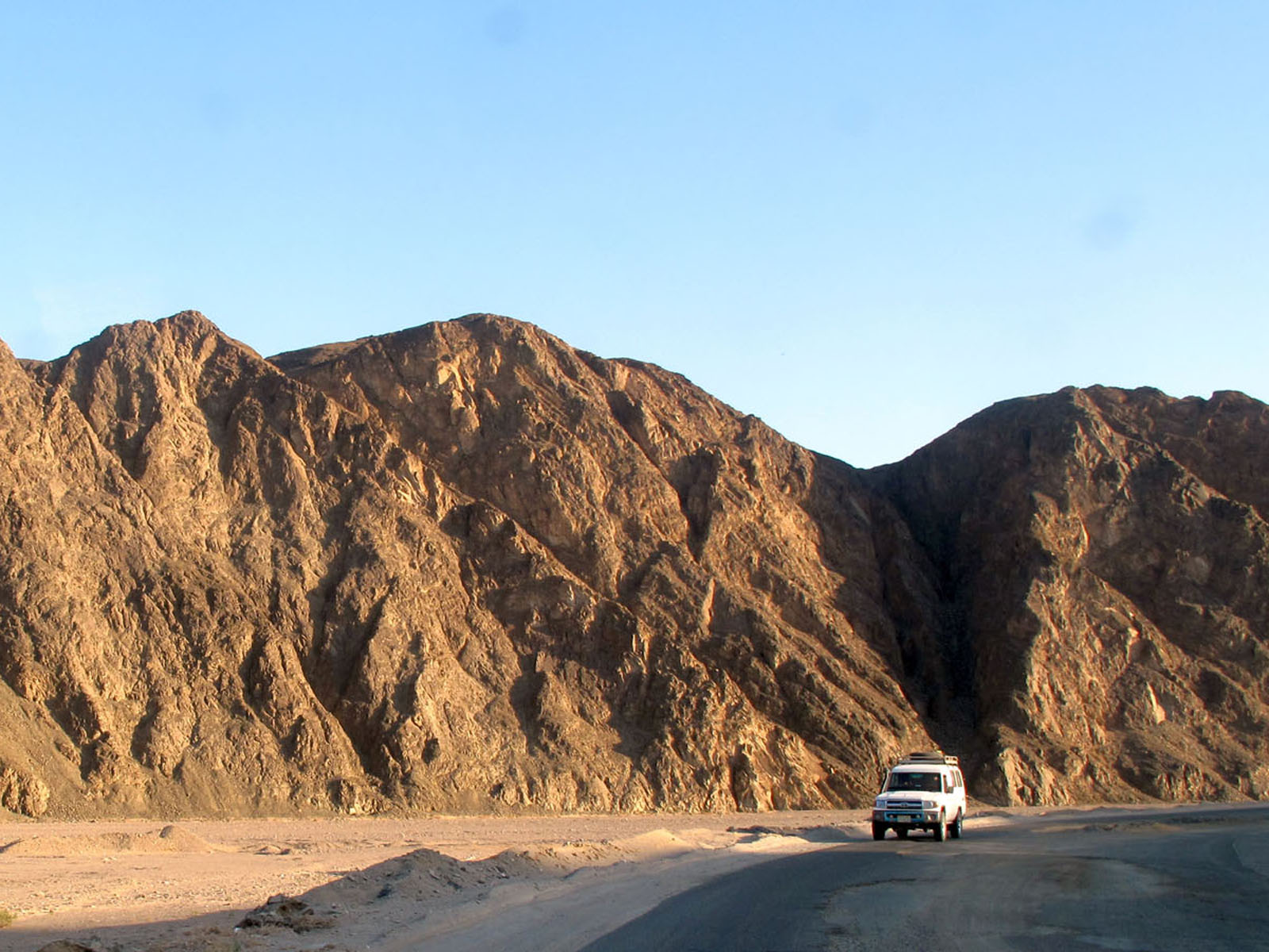
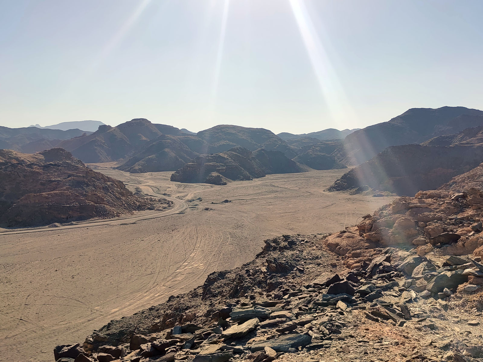
Photo Gallery


